Irina Beal joined PALTA in February 2020. Irina creates, improves, and analyzes spatial data to support conservation-related efforts across Pennsylvania. Her many geographic information system-based projects include updating and improving PALTA's statewide database of privately and publicly conserved lands. Prior to PALTA, Irina worked on living shorelines and shoreline read more
Allegheny Land Trust Launches Regional Mapping Tool
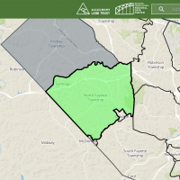
Allegheny Land Trust (ALT) and the Western Pennsylvania Regional Data Center (WPRDC) have just launched Urban Greenprint, an interactive online regional mapping tool that will guide urban greening priorities. Urban Greenprint features a number of land-use data sets from public-sector, nonprofit, and private organizations, and makes them available for public use. “The tool is read more
PALTA Launches Group Finder for Land Trusts and Other Organizations
The Pennsylvania Land Trust Association has established the Group Finder at ConservationTools.org. Through various avenues, it provides geographic and other information about land trusts, watershed associations, environmental advisory councils, and other organizations. Land Trust Service Areas You can use Find a Pennsylvania Land Trust to identify land trusts and their read more
New Map Features State Game Lands, Other Tools
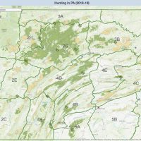
Working in cooperation with the Pennsylvania Game Commission, the Department of Conservation and Natural Resources is rolling out an expanded interactive map that adds state game lands to a website already increasingly popular with hunters and other visitors to state woodlands. “This information is timed perfectly, as state hunting and antlerless deer licenses go on sale read more
Census Report: PA Land Trusts Expand Conserved Land by 36%
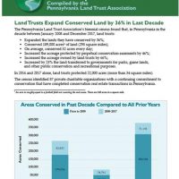
The 2017 Pennsylvania Land Trust Census Report highlights the success of land trusts across the state (as of 12/31/17) and includes the latest land trust rankings. Download the full report here. The biennial census found that, between January 2008 and December 2017, Pennsylvania land trusts: Expanded the lands they have conserved by 36% Conserved 189,000 acres of read more
New Maps Identify Conserved Land and Land Trust Service Areas
The Pennsylvania Land Trust Association has introduced two new interactive GIS maps on ConservationTools.org: a map of conserved lands across Pennsylvania, and a map of land trust service areas in the state. Pennsylvania Conserved Land Map This map identifies land across the state conserved by land trusts as well as local, state, and federal government bodies. The map read more
Partnership Announces Exciting Improvements to Hiking Website
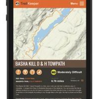
August 2016 The Delaware Highlands Conservancy and Catskill Mountainkeeper, in partnership with Sullivan County Division of Planning & Environmental Management, the Sullivan County Visitors Association, and Morgan Outdoors, have announced the re-launch of the new and improved TrailKeeper.org. TrailKeeper.org is a one-source outlet for hiking trails and public lands in read more

